Technology and Prevention: the use of 3D Scanning to protect the Dutch Polders against global warming
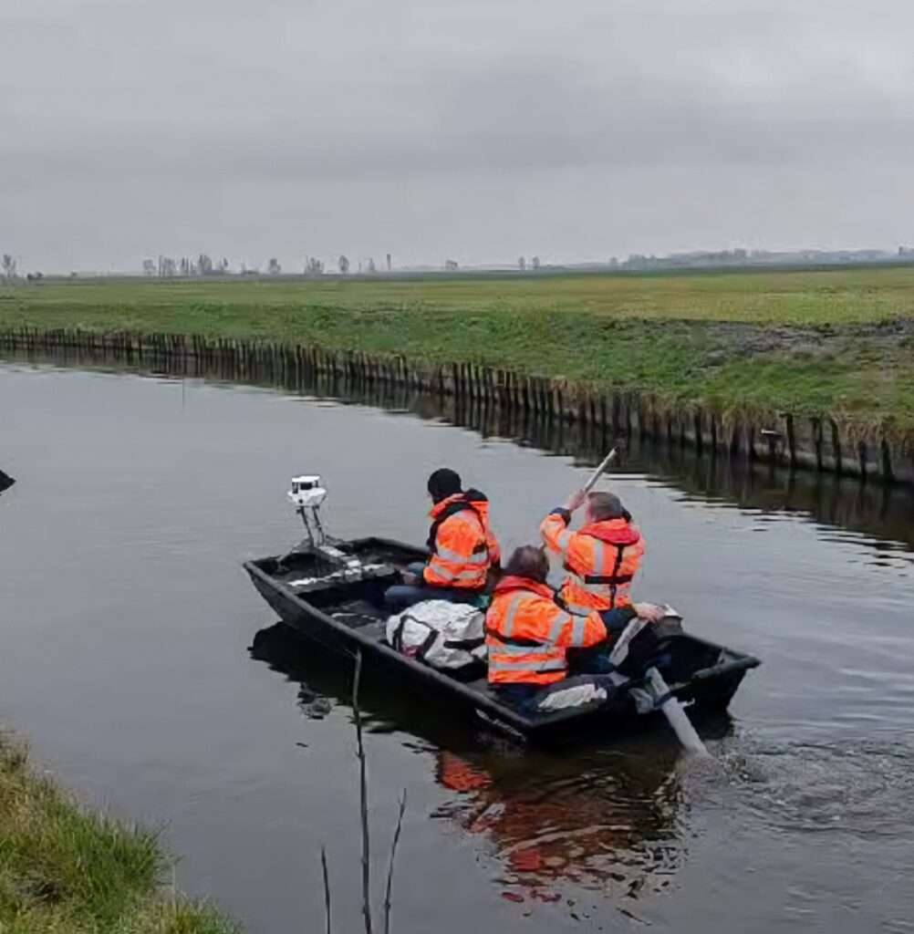
Technology and Prevention: the use of 3D Scanning to protect the Dutch Polders against global warming In an era where environmental threats are increasing, technology can become an essential ally in anticipating the risks linked to climate change. The polders in the Netherlands, land reclaimed from the sea, are particularly vulnerable to global warming despite […]
AND WHAT IF 3D SCANNING JOINED THE EVENT WORLD?
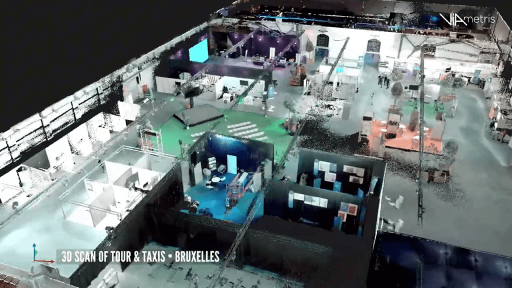
And what if 3D scanning joined the event world? We took the opportunity of our presence during the last edition of Printemps Numérique in Brussels to scan Tour & Taxis, the superb historic building in the Belgian capital that hosted the event organized by Paradigm Brussels. Tour & Taxis, a fine example of the rehabilitation […]
Mayday mayday mayday! My GNSS antenna is out!

When talking about 3D scanners, a GNSS antenna is used to enable precise geolocation of the device during the scanning process. This feature is particularly important in mapping applications where geographic accuracy of data is essential. But what to do when we lose the signal?
The scan-to-BIM revolution
In the world of architecture and 3D modeling, a major transformation is taking place with the advent of Scan-to-BIM. This innovative technology, which combines the power of 3D scanners and BIM (Building Information Modeling) methodology, is revolutionizing the way projects are designed, visualized and managed. At the heart of this revolution, the Viametris MS-96 3D scanner is positioned as an essential ally for BIM modelers.