
Redefining Mobile Mapping
Professional mobile mapping solutions for every environment.
Built for surveying, infrastructure and reality capture.

Why the MS-96

Everything you need to know about the MS-96. Starting with the four pillars that set it apart
Survey-Grade Accuracy
PRECISION
Capture precise, georeferenced point clouds ready for engineering, surveying, and construction workflows.
Sub-Centimeter Precision
Survey-Ready Deliverables

Built For Every Mission
MODULARITY
Deploy the same system as a backpack, vehicle-mounted or front-pack configuration depending on the mission.
Backpack configuration
Vehicle-Mounted Deployment


Total Data Ownership
OWNERSHIP
No subscriptions. No scan credits. No cloud lock-in. Your data stays yours.
No Recurring Costs
Full Data Ownership

Faster Field Operations
SPEED
Cover more ground in less time and reduce costly revisits thanks to high-speed mobile mapping.
Reduced Field Time
Fewer Site Revisits
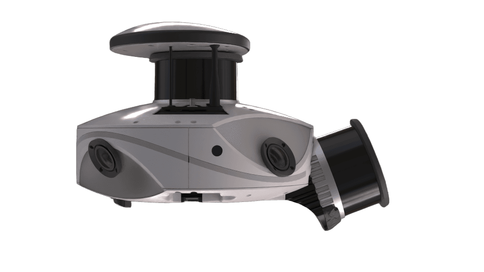
The MS-96 is a high-performance mobile mapping system designed to capture accurate, high-density data in any environment. Built for efficiency and interoperability, it gives you full control over your data. From capture to deliverables, without being locked into a specific ecosystem.
How It Works



