The company 3sigmas, based in the canton of Fribourg, Switzerland, develops, among other things, 3D scanning solutions for engineering structures (bridges, dams, historic buildings, ski slopes, etc.) using 3D modeling and point cloud capture technologies. Recently, the company took on the challenge of scanning a road segment in a steep area using its MS-96 to provide the public works administration with precise and up-to-date data. Let’s take a closer look at this experience with Vincent Barras, Geomatics Engineer and Director of 3sigmas.
V. Barras: The goal of digitizing this road segment was to obtain detailed information on the engineering structures along this steep road. The responsible administration wanted up-to-date data to assess the scale and condition of the structures in order to optimize maintenance planning and execution.


V. Barras: We have often encountered situations where site accessibility was challenging. We had already tested various options with our terrestrial scanners in Stop&Go mode.
Innovation is in 3sigmas’ DNA, so we developed a tailored solution for this pilot project in collaboration with one of our partners. The survey was scheduled just after vegetation maintenance work, which cleared a 1 to 2-meter-wide area below the road. This provided us with the opportunity to implement a new kinematic method.
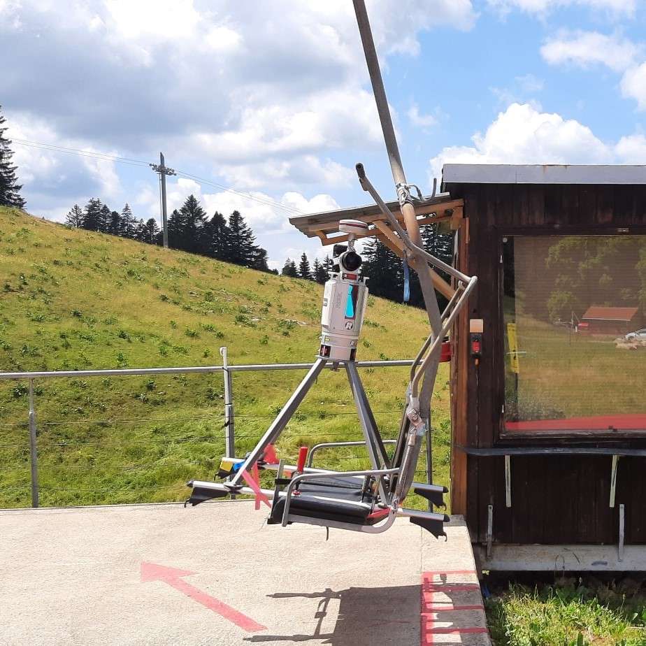
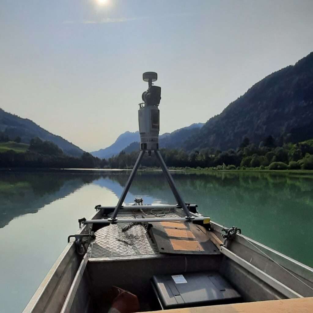
We had previously tested a similar system on a boat and a chairlift. As soon as we acquired the Viametris MS-96, we had a custom mount designed to attach the instrument to various supports. This mount and the MS-96 had already been used for scanning with a custom-built cart. Adapting the setup to offset the MS-96 to the right of the vehicle turned out to be relatively simple.
V. Barras: Yes, absolutely. We first conducted a double round-trip in “Automotive” mode, followed by an offset survey over approximately 1 km. The initialization went smoothly, and data acquisition was carried out at low speed to maintain an optimal lateral offset of about 1.5 meters.
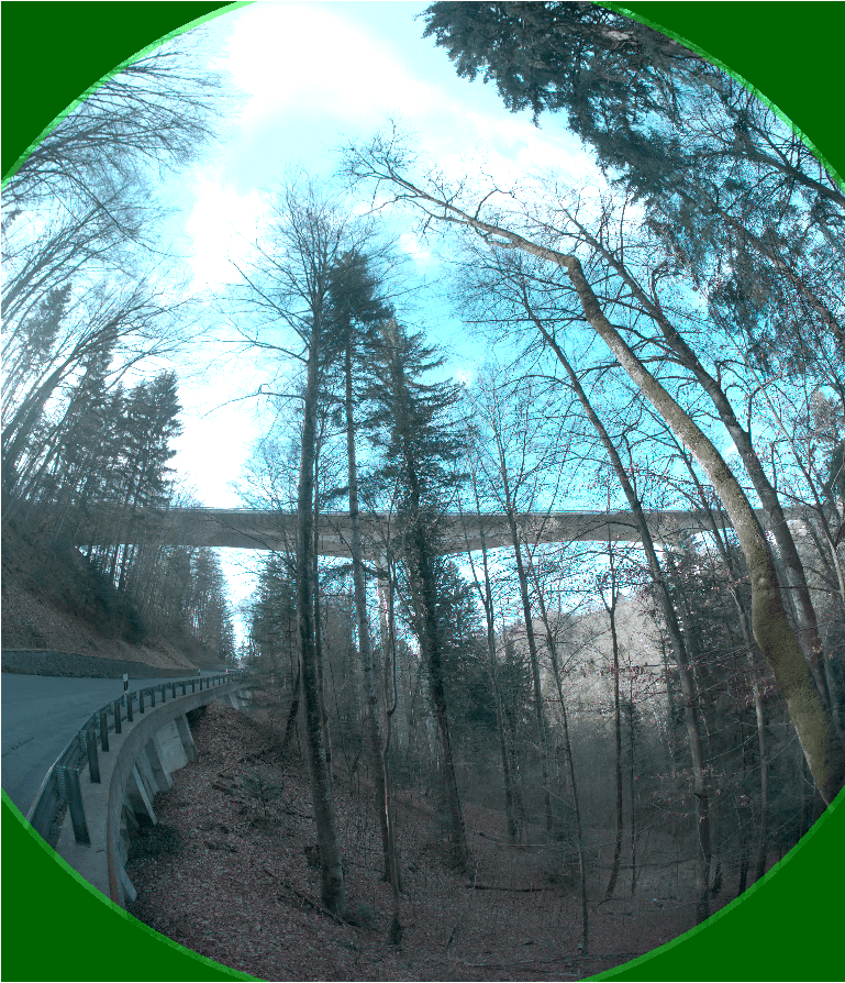
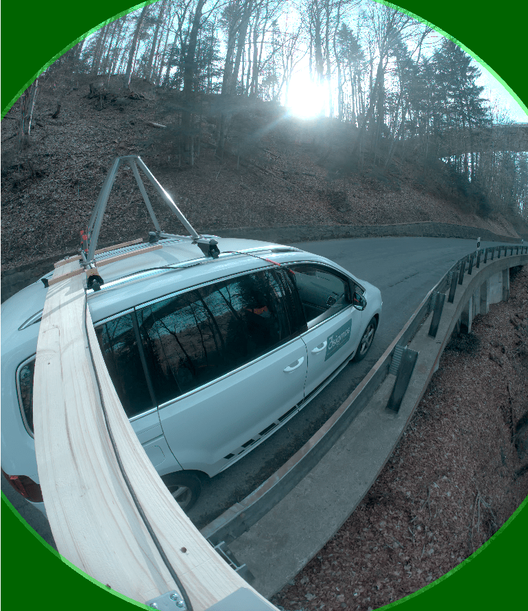
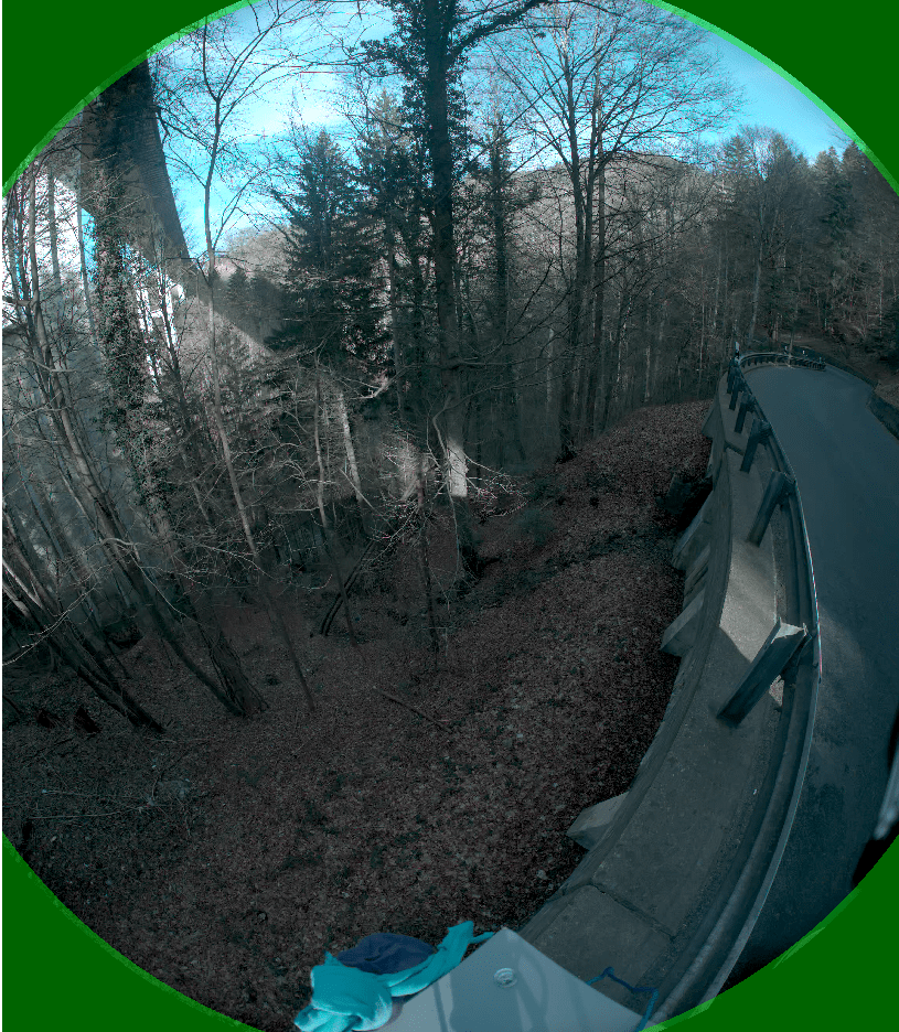
The entire survey was conducted by a single person. From setup to acquisition and dismantling, the entire process took around three hours, with two scanning sessions of 15 to 20 minutes each.
Data processing was performed in the same way as a standard “Automotive” survey, without any particular difficulties. The integration of trajectories was seamless and error-free.
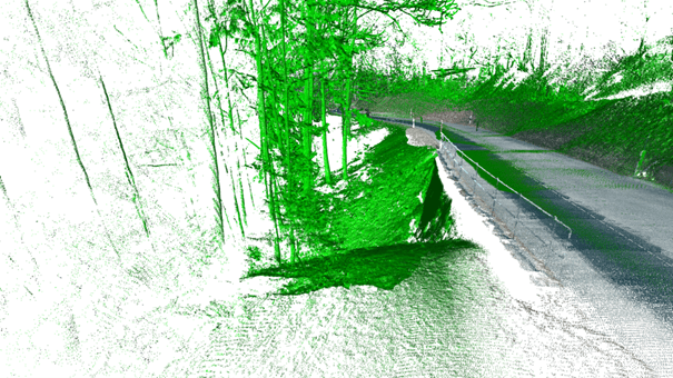
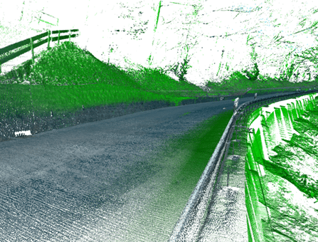
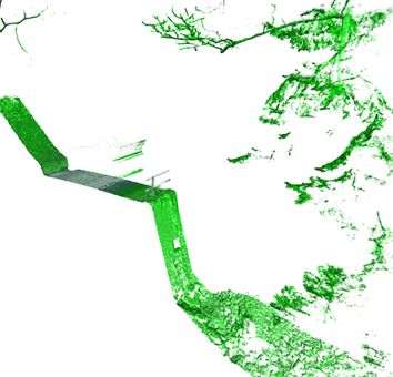
We saw significant potential for this technique. However, to further improve coverage, increasing the scanner’s offset from the vehicle would be ideal. This approach does come with constraints, particularly during initialization or when navigating around road signs. One potential solution would be to make the scanner pivotable. Another idea would be to conduct the survey on foot, but our current equipment remains too heavy. We are therefore considering developing a suitable cart.
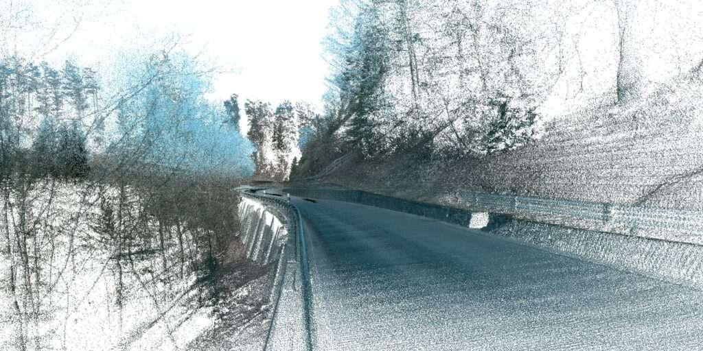
V. Barras: Alongside our partner Géo Solutions Ingénieurs SA, this project serves as a test for our end client. If the acquired point cloud data and subsequent enhancements are deemed satisfactory, we hope to secure additional road scanning contracts.
In any case, 3sigmas will continue to explore the capabilities of the Viametris MS-96 in unconventional applications, testing new configurations and mounting options to optimize its performance.
Website : https://3sigmas.ch/