
MS-96 Mobile Mapping System

Backpack
Capture indoor and outdoor environments efficiently with a lightweight backpack system. Designed for operation with or without GNSS in complex and constrained environments.

Pro Car Pack
Capture large-scale road environments efficiently with a stable vehicle-mounted car rack. Ideal for advanced mobile mapping, high-speed surveys, tunnels, and other demanding scenarios.

LIGHT CAR Pack
Capture road environments efficiently with a quick-install suction-mounted vehicle setup. Easy to set up and ready for any road.

MS-96 FEATURES


MS-96 FEATURES
Built for Every Surveying Mission
Built for Every Surveying Mission
Built for Every Surveying Mission
Explore how the MS-96 supports professional surveying across every industry and environment.
Explore how the MS-96 supports professional surveying across every industry and environment.
Construction
Capture construction sites and as-built conditions for engineering, BIM and progress monitoring.
Construction
Capture construction sites and as-built conditions for engineering, BIM and progress monitoring.



Street
Capture urban streets for city mapping, asset inventory, and infrastructure management.
Street
Capture urban streets for city mapping, asset inventory, and infrastructure management.

Road / Highway
Capture roads and highways for engineering, maintenance and asset inventory.
Road / Highway
Capture roads and highways for engineering, maintenance and asset inventory.
Railway
Capture rail corridors, tracks and stations with survey-grade accuracy and high productivity.
Railway
Capture rail corridors, tracks and stations with survey-grade accuracy and high productivity.

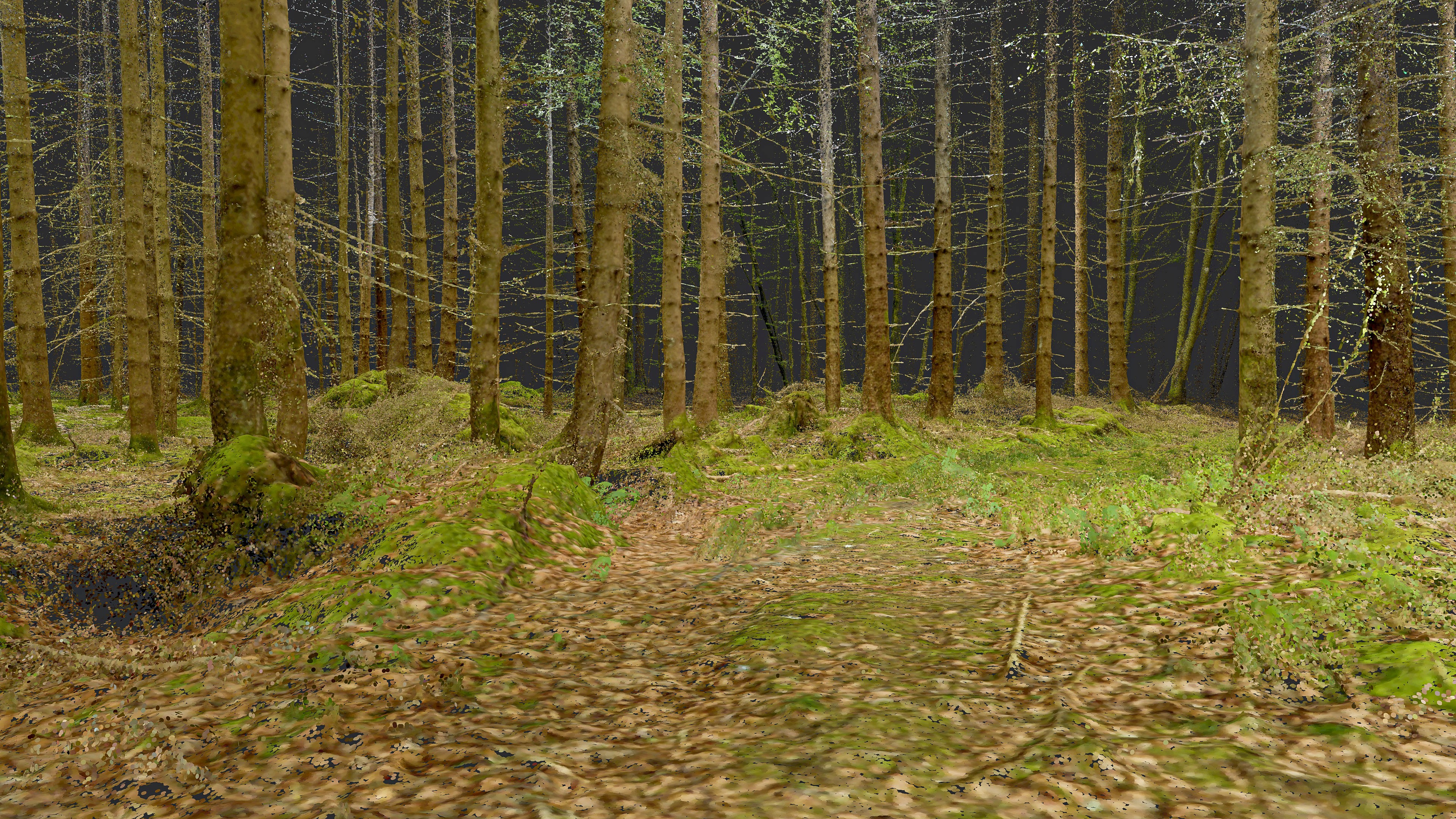
Forest
Map forests, vegetation and natural environments with accurate geospatial LiDAR data.
Forest
Map forests, vegetation and natural environments with accurate geospatial LiDAR data.
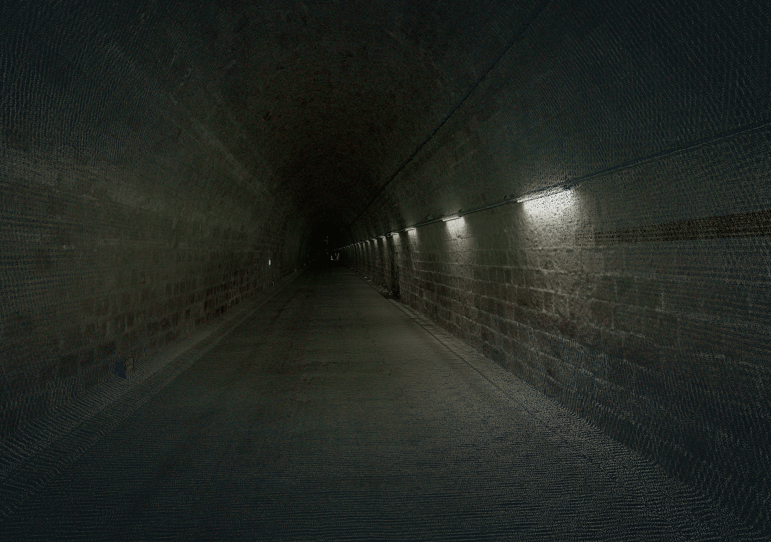
Mining / Tunnel
Survey underground mines and open pits with reliable SLAM positioning and precise point clouds.
Mining / Tunnel
Survey underground mines and open pits with reliable SLAM positioning and precise point clouds.
Indoor
Capture buildings, industrial facilities and complex interiors with seamless SLAM-based surveying.
Indoor
Capture buildings, industrial facilities and complex interiors with seamless SLAM-based surveying.


0Sqm
0Sqm
Scanned per hour
0Km
0Km
Of road data delivered in 2,5 months
0Min
0Min
To map a 1-hectare area including a building to be renovated
Why survey professionals choose the MS-96
Why survey professionals choose the MS-96

Survey-grade accuracy
Centimetric accuracy you can rely on for engineering and cadastral surveys. Deliver consistent, survey-grade point clouds for topographic mapping, BIM, infrastructure and geospatial projects.
Survey-grade accuracy
Centimetric accuracy you can rely on for engineering and cadastral surveys. Deliver consistent, survey-grade point clouds for topographic mapping, BIM, infrastructure and geospatial projects.

No recurring licence
One investment. No subscriptions, scan credits or hidden processing fees. Own your mobile mapping workflow while reducing long-term operating costs for your surveying business.
No recurring licence
One investment. No subscriptions, scan credits or hidden processing fees. Own your mobile mapping workflow while reducing long-term operating costs for your surveying business.

Works indoors & outdoors
Capture complex environments seamlessly with a single mobile mapping system. Survey buildings, roads, tunnels, industrial sites and forests without changing hardware or workflows.
Works indoors & outdoors
Capture complex environments seamlessly with a single mobile mapping system. Survey buildings, roads, tunnels, industrial sites and forests without changing hardware or workflows.

Backpack • Vehicle
Adapt the MS-96 to every surveying mission in minutes. Switch between backpack to vehicle configurations to maximize productivity across every project.
Backpack • Vehicle
Adapt the MS-96 to every surveying mission in minutes. Switch between backpack to vehicle configurations to maximize productivity across every project.

Full SLAM + GNSS workflow
Combine advanced SLAM with GNSS/INS positioning for maximum flexibility. Maintain reliable positioning indoors, outdoors and in GNSS-challenged environments while preserving survey-grade accuracy.
Full SLAM + GNSS workflow
Combine advanced SLAM with GNSS/INS positioning for maximum flexibility. Maintain reliable positioning indoors, outdoors and in GNSS-challenged environments while preserving survey-grade accuracy.